Tropical Disturbances and Weather Updates: What to Expect in Texas
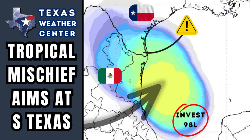
The Gulf Coast of Texas is bracing for potential weather changes as a tropical disturbance in the Bay of Campeche is set to influence conditions from Friday through Saturday. This system may not only bring increased rainfall but also heighten the risk of dangerous rip currents along the Texas coastline, which could affect beachgoers and local communities.
Tropical Disturbance Near Mexico’s Coast
An evolving weather pattern over the Bay of Campeche is generating a cluster of thunderstorms that is currently tracking northwest toward northern Mexico and possibly southern Texas within the next 48 hours. Meteorologists are monitoring this developing system closely, as it has the potential to consolidate into a low-pressure area or even evolve into a tropical depression.
Despite predictions indicating that the heaviest impacts will likely remain offshore, it is crucial for coastal areas to prepare for elevated rain probabilities, enhanced rip currents, and turbulent Gulf waters by the weekend. Should this disturbance strengthen, any onshore effects are likely to be limited to localized downpours rather than widespread flooding or severe weather events.
Tropical Storm Erin: A Separate Threat in the Atlantic
In a separate development, Tropical Storm Erin is rapidly moving west across the Atlantic Ocean. Forecasts suggest that Erin could intensify into a large and powerful hurricane by the weekend, potentially passing east of the Bahamas and navigating the route between the U.S. East Coast and Bermuda next week.
Erin is expected to create dangerous rip currents and large swells along much of the Atlantic-facing U.S. coastline. While coastal regions such as Bermuda and the Outer Banks should remain vigilant, it is important to note that Erin does not pose a threat to Gulf Coast states, including Texas.
Pop-Up Storms and August Heat in Texas
In the absence of significant tropical developments, monsoonal moisture is likely to bring scattered afternoon showers and thunderstorms to the western third of Texas over the coming days. Isolated storm activity may also be observed in Southeast Texas, while coastal areas and nearby inland regions are primed for higher rain chances starting Friday.
Current Temperature Trends
As August continues, Texas will experience seasonally high temperatures ranging from the 90s into low triple digits. Specifically, Laredo is expected to reach sweltering temperatures close to 106°F in the coming days, making it imperative for residents to stay hydrated and take necessary precautions against heat-related illnesses.
Looking Ahead: A Shift in Weather Patterns
Looking further into next week, weather models indicate a shift in the upper-level heat dome back towards the Four Corners region of the western U.S. This change may help lessen the sinking air that has dominated Texas weather, potentially allowing more afternoon thunderstorms to develop. This shift could provide a much-needed respite from current conditions and may help alleviate the wildfire danger that has been escalating across the state.
As the situation evolves, residents along the Texas Gulf Coast and beyond should stay informed about changing weather patterns. Keep an eye on local forecasts and advisories to be prepared for any sudden changes in conditions.


