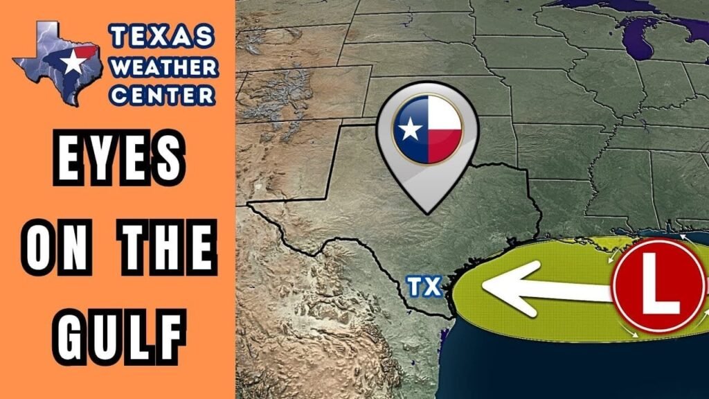
Weather Update: Tropical Disturbance Approaching Texas
As a weak tropical disturbance makes its way westward towards Texas, meteorologists are keeping a close watch on its trajectory. While current conditions are not ideal for this disturbance to evolve into a significant rainfall event, it’s essential for residents to stay informed as the weather can be unpredictable.
What to Expect This Week
Increasing Cloud Cover
Thursday Night into Friday
As the disturbance approaches, cloud cover is expected to increase across the southeastern half of Texas. Residents in this area should prepare for a rise in rain chances along the Middle and Upper Texas Gulf Coast and Southeast Texas on Friday. This could lead to varying weather conditions throughout the day.
Friday Evening to Saturday: Rain and Possible Flooding
The system will continue its westward movement, leading to increased rain probabilities for regions including the Coastal Plains, Coastal Bend, South Texas, and the Rio Grande Valley from Friday evening into Saturday. Anticipated rainfall amounts range from one-half inch to two inches, with higher totals expected near the coastline. However, the most significant rainfall is likely to remain offshore and over the Gulf. Current forecasts indicate that while some localized flooding may occur, it is not expected to be widespread, minimizing the risk of severe weather impacts.
For more detailed information on flood risks, visit the National Weather Service.
Thunderstorm Activity in Western Texas
Afternoon and Evening Storms
In the western portion of Texas, monsoonal moisture could lead to afternoon and evening thunderstorms. Although the number of storms is anticipated to decrease compared to previous days, this is only a temporary lull. Expect coverage to increase on Friday afternoon and through the night. Some storms may produce localized damaging winds, hazardous lightning, and intense rainfall, carrying a risk of isolated flash flooding.
Weekend Forecast
Isolated thunderstorms are likely to persist over the weekend, keeping the possibility of further localized flooding and severe weather in mind. Residents should stay alert and monitor local weather updates.
Texas Heatwave
High Temperatures Across the State
While rain remains a concern in certain areas, much of Texas will be under the influence of a strong upper-level high-pressure system. This will lead to dry conditions for the rest of the state, with afternoon temperatures soaring into the upper 90s, approaching 105 degrees in some locations.
Health Precautions
As temperatures remain elevated, it is crucial for residents to take precautions against heat-related illnesses. Staying hydrated and avoiding prolonged exposure to the high afternoon sun is recommended, especially for vulnerable populations.
For tips on coping with extreme heat, check out the Centers for Disease Control and Prevention.
Conclusion
With a tropical disturbance on the horizon and temperatures soaring across Texas, staying informed is essential. Monitor your local weather channels for updates and be prepared for possible weather changes. By remaining proactive, you can ensure your safety and well-being during this active weather period.
For continuous updates on Texas weather, visit the Texas State Weather Service.


