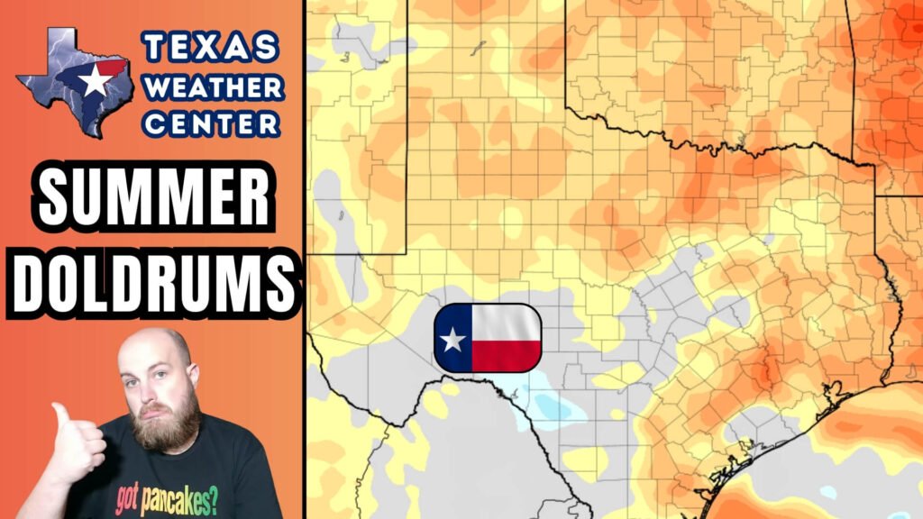
Texas Weather Update: Transitioning to an Early Fall Pattern
As Texas emerges from a summer marked by significant storms, the state is now heading into a more typical early-fall climate characterized by heat and dryness. A high-pressure ridge is settling in, which will dominate the weather across the region. While there is a slight chance for isolated thunderstorms, most areas will experience clear skies and warm temperatures in the coming days.
Isolated Thunderstorms Expected Today
For residents in the Texas Panhandle, there is potential for thunderstorms this afternoon and evening, particularly near the Oklahoma border. Should these storms develop, they may bring hail, gusty winds, and hazardous cloud-to-ground lightning. Additionally, the Texas Gulf Coast and Rio Grande Valley could see some scattered showers or brief thunderstorms, though widespread rainfall is unlikely.
Heat Dome Keeping Texas Dry
Moving forward, the European weather model indicates a significant upper-level ridge building over Texas through the weekend and into early next week. This phenomenon, often referred to as a “heat dome,” is predicted to keep much of the state hot and dry, with temperatures soaring into the mid to upper 90s. In South Texas, areas such as Laredo and the Rio Grande Plains may experience temperatures approaching the 100°F mark, marking a return to the summery conditions many have come to expect after an unusually wet period.
Seven-Day Rain Outlook
Here’s a brief look at the rainfall expectations across various regions in Texas over the next week:
- Panhandle & West Texas: Spotty storms may occur from Friday through the weekend, but these will not be widespread.
- Rio Grande Valley & Lower Gulf Coast: Continued opportunities for scattered showers exist.
- Rest of Texas: Expect clear skies with little to no rainfall anticipated for at least the next week.
The Weather Prediction Center has projected minimal rainfall totals across most of Texas, with slightly higher precipitation amounts possible near the coast and amid isolated storms in West Texas.
Tropical Weather Remains Calm
Despite being in the midst of the peak of hurricane season, the Atlantic basin remains unusually quiet. Currently, no systems are anticipated to impact Texas or the Gulf of Mexico in the next 10 days. Although a disturbance tracking off the coast of Africa carries the potential to develop into Gabrielle, it remains distant.
Temperature Outlook
Here’s the forecast for temperatures over the next few days:
- Today (Sept 10): Highs will range from the upper 80s to mid-90s, with hotter conditions likely in South Texas.
- Thursday–Friday: Expect mid to upper 90s, with temperatures possibly exceeding 100°F in the Laredo area.
- Weekend: Hot temperatures will persist statewide, though some relief may be found in the Panhandle and West Texas due to scattered storms.
The Climate Prediction Center indicates that above-average temperatures will continue across Texas through mid-September, accompanied by below-average precipitation in most areas.
Conclusion
As Texas settles into this quieter weather pattern, residents should prepare for hot afternoons, elevated risks of wildfires, and limited chances of rain. While it’s a welcome break from the recent storm activity, it’s essential to remain vigilant as the state monitors storm risks in the Panhandle and developments in the tropics.
Stay current on weather updates and alerts through reliable sources, such as the Texas Storm Chasers mobile app or track storms live on our interactive radar.


